The Micro Remote Sensing course offers a comprehensive introduction to reproducible flight planning, data acquisition, pre-processing, and example-based analysis of high-resolution, low-cost image data — using both commercial and open-source software tools.
This course is intended for learners of all levels who possess a basic understanding of their operating system’s structure. While programming knowledge is not required, it may be helpful — especially for the advanced module Analysis of High-Resolution Aerial Data.
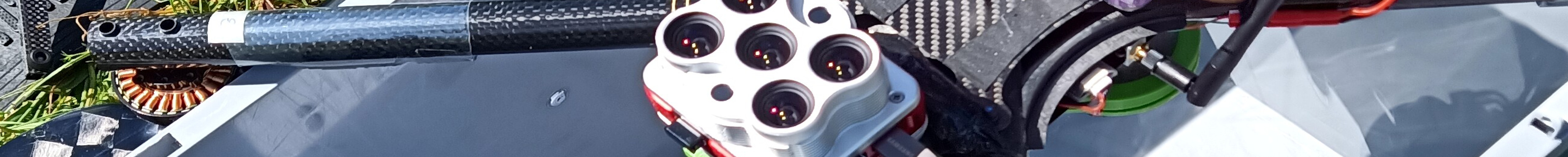
The main focus is on the practical acquisition of high-resolution aerial imagery. The course is rounded off with post-processing workflows and an introduction to classification and analysis of the generated datasets.
The course consists of a sequential (but not strictly linear) set of modules, each designed to be completed in approximately three weeks.
Each module follows this structure:
The labels provide a quick overview of the content and importance of each unit within a module:
mandatory units define the minimum course requirementsrecommended units should be considered stronglyChris Reudenbach
Geoinformatics Working Group (GISMA)
Department of Geography, University of Marburg
The course materials are developed and hosted on
GitHub
The responsibility for the content lies with the instructors.
Statements, opinions, and conclusions are those of the instructors and do not necessarily reflect the views of the University of Marburg.