Use Case Gisselberger Spannweite
A feasibility study was conducted using the Gisselberger Spannweite as a representative example.
The goal of this test was to evaluate the proposed workflow for efficiency and suitability in acquiring orthoimages with a ground resolution of < 2.5 cm using low-cost mini-UAVs (< 250 g), with minimal effort.
The resulting orthoimages and point clouds serve as foundational datasets for monitoring river restoration projects and similar applications.
Methods and Implementation
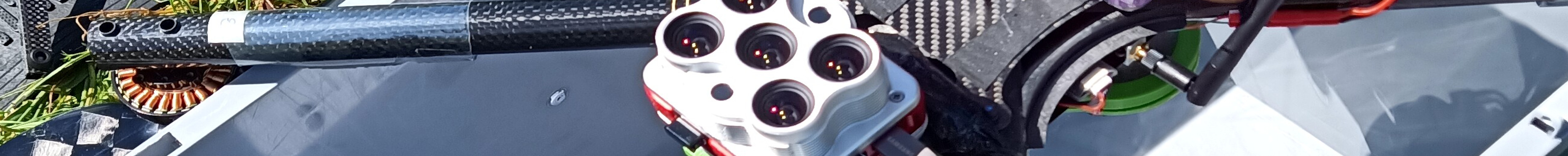
UAV Hardware Used
Mini-UAVs with a take-off weight below 250 g are particularly well-suited for such tasks due to the following advantages:
- No EU A1/A3 drone license required
- Legal flights under category OPEN A1 are possible — including close proximity (30 m) to uninvolved individuals and flights over residential areas — provided all regulations and no-fly zones are observed
- Only mandatory requirements: pilot registration (UAS operator ID/e-ID) and liability insurance
For this study, the DJI Mavic Mini 2 was used, which is well-supported by the Litchi software and offers reliable straight-line and descent flight capabilities.
An alternative, the more affordable Xiaomi Fimi X8 Mini, could likely yield comparable results with minor adjustments.
In general, most high-quality mini-UAVs should suffice.
Note, however, that drones heavier than 250 g require significantly more planning and are subject to stricter legal obligations.
Flight Planning
The flight plan followed a standardized dual-altitude strategy (50 m and 70 m AGL) with a 5° tilted nadir angle.
Planning was performed in QGroundControl using the DJI Mini 2 camera configuration.
Flight restrictions derived from Airmap were considered and converted to Litchi Mission Hub missions via the R package uavRmp.
Using Litchi Mission Hub, each waypoint was reviewed and adjusted manually (Settings → Use Online Elevation).
This manual step is obligatory to ensure safe flights, maximize coverage, and stay within the 20-minute battery limit.
The full onsite acquisition (setup, flight, teardown) took approximately one hour.
Lengthwise Flight
Cross Flight
Post-Processing (Agisoft Metashape)
Processing was carried out using Ortho+ -> Best Practice -> Ortho-no-GPS within Metashape.
The target ground resolution was set to 1.5 cm. No advanced tuning options were used for this demo, meaning that further improvements are likely possible.
Results
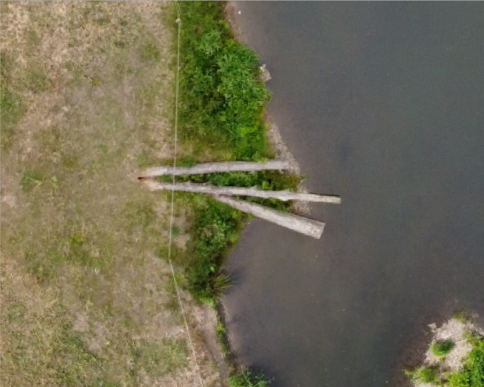
The first evaluation step focuses on visual inspection — especially image quality, the occurrence of artifacts, and positional accuracy.
Ground Resolution – What’s “Real”?
Metashape reports a ground resolution of about 1.4 cm, based on the two flight altitudes.
The full-resolution orthoimage has a file size of ~2.4 GB.
A resampled version at 5 cm resolution is only ~210 MB.
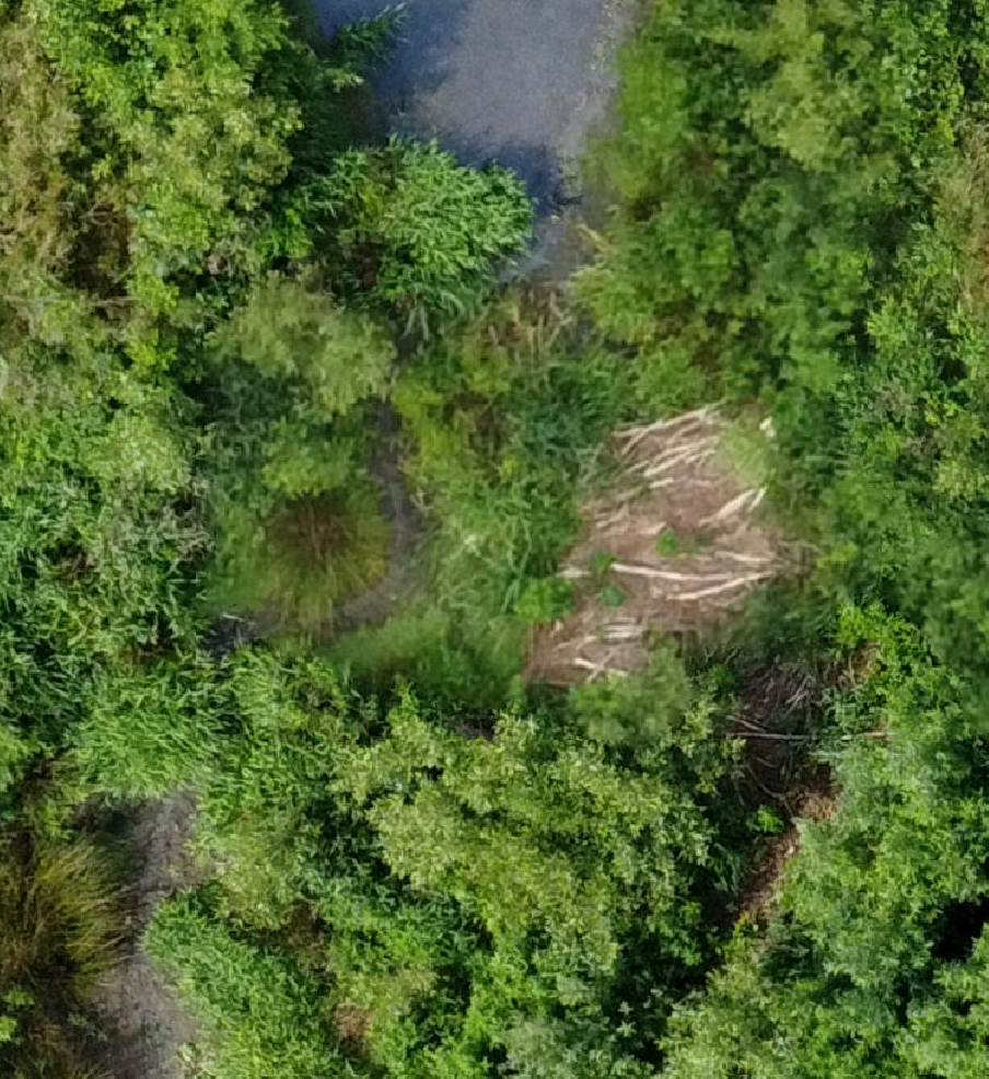
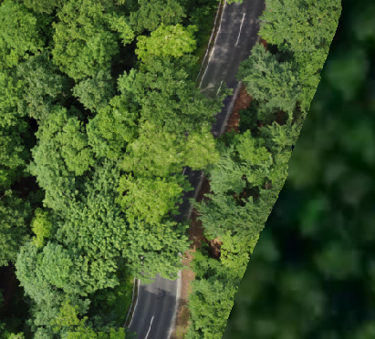
Compare the visual differences in the cutout images below:

Left: Original 1.5 cm resolution. Right: Resampled to 5 cm resolution.
The core question becomes: what resolution is reasonable and manageable — full detail at 1.4 cm or resampled 5 cm?
There is no universal answer. It depends on your analysis goal and method.
Often, highest resolution ≠ best result — especially considering non-linear increases in data volume.
Overall Visual Inspection
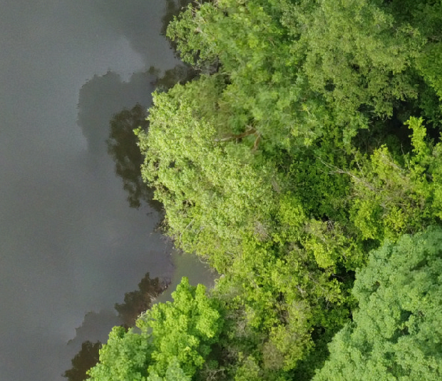
Below, you’ll find an interactive Cesium-Ion map with the full 5 cm orthoimage.
Compare the three trees section again to assess rendering performance.
Note: Cesium resamples images for performance, so quality may appear reduced.
Typical Visual Issues
The following panel illustrates typical artifacts:
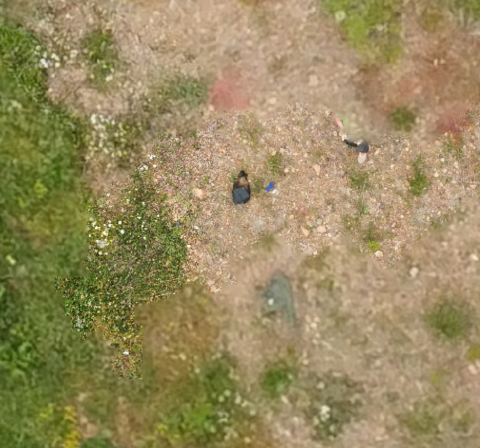
Left to right:
- Motion blur or vertical displacements
- Shadow duplication
- Oversampling (redundant images)
- Edge distortion due to insufficient image overlap
Further Products
Beyond orthoimages, dense 3D point clouds are a key output and — depending on the context — comparable to LiDAR data in information content.
Such models are ideal for participatory planning, public outreach, and environmental monitoring.
3D Model
Below is a shaded 3D mesh (raw, unfiltered).
Note: For Cesium display, mesh models must be manually aligned in 3D space. Minor inaccuracies in placement may still be visible.
3D Point Cloud
Here is a reduced version (factor 30) of the point cloud rendered in Cesium:
Despite heavy downsampling, the model clearly reveals 3D structure of vegetation and terrain.
Also available as a Sketchfab model:
Note: Rendering capabilities vary depending on the 3D engine.
Conclusions
The presented case study illustrates that using a mini-UAV, efficient flight planning, and standardized processing workflows can produce reproducible and accurate orthoimages and point clouds.
This method shows great potential for low-cost, non-invasive environmental monitoring — especially in sensitive or inaccessible areas.