gisma spatial science resources
About gisma courses
The courses are regular courses in the Bachelor's and Master's programmes in Geography at the University of Marburg. They are offered by the Geoinformation Science Lab Marburg (gisma), which provides access to various teaching and research content from the Spatial Science Resources working group at the Department of Geography, Marburg University. The course content is developed and hosted on GitHub. The responsibility for the content rests with the instructors. Statements, opinions and/or conclusions are those of the instructors and do not necessarily reflect the opinion of the representatives of Marburg University.
Regular Courses
Current course pages and teaching resources from the last two years
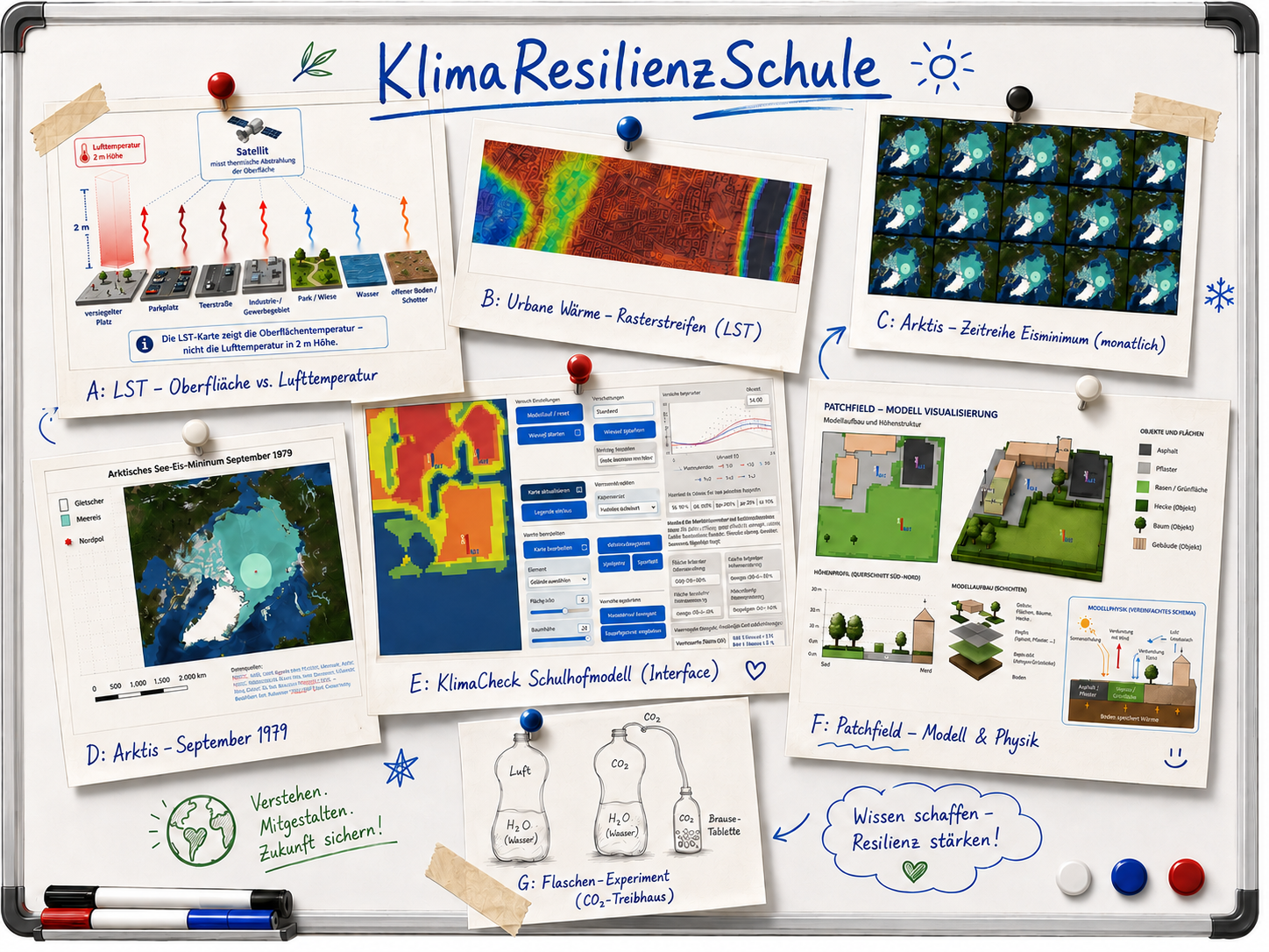
KlimaLab Schülerlabor 2026 - KlimaCheck Schulhof
The Climate Resilience School helps teachers and students explore climate change, climate resilience, and scientific methods through practical classroom materials. Students investigate climate phenomena such as heat, albedo, urban climate, and the greenhouse effect using experiments, maps, data, and models. They also reflect on how AI can support learning and where independent thinking, checking, and reasoning remain essential.
Geoinformatics methods - Basic geoinformatics course (QGIS)
Spatial and temporal data, their manipulation, analysis and representation are fundamental scientific elements of geography. The course introduces geodata types, visual exploration, GIS-based analysis, presentation and reproducible workflows as core competences for geographers.
Micro-Remote Sensing - UAV based Remote Sensing workflows
The Micro Remote Sensing course offers a comprehensive introduction to reproducible flight planning, UAV-based data acquisition, pre-processing and example-based analysis of high-resolution, low-cost image data using commercial and open-source software tools.
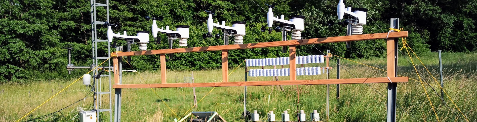
Advanced GIS and Remote Sensing - Rainfall Monitoring Network Design
Advanced GIS and Remote Sensing is a project-oriented course on the design, analysis and evaluation of spatially explicit hydrological monitoring networks. The course goal is to develop a reproducible and defensible rain-gauge network concept for the Kellerwald region by connecting spatial reasoning, remote-sensing data and hydrological process understanding.
TLS Tree Climate - Tree Structure, Species and Energy Flow
This course explores how trees shape climate through structure, species and energy flow. It combines laser scans, land data and physical models to analyse atmosphere-vegetation interaction, surface energy fluxes, TLS and ALS point clouds, tree species classification and simulation-ready microclimate domains.
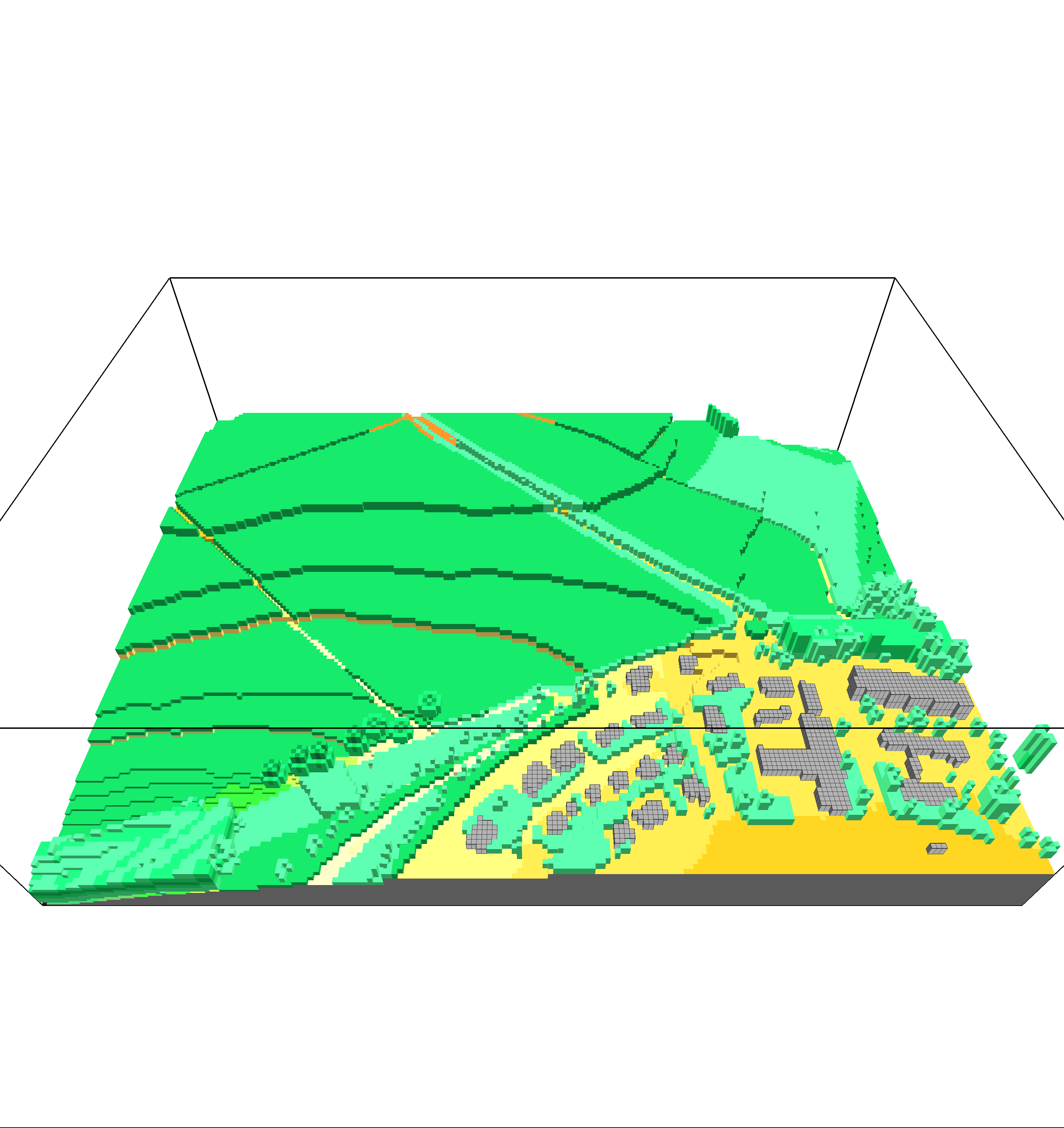
Microclimate Modeling - ENVI-met
Microclimate Modeling introduces ENVI-met as a 3D microclimate simulation environment for urban planning, architectural design and energy-related applications. The course covers materials, vegetation, weather-file preparation, model-domain generation, simulation runs, visualisation and interpretation of microclimate results.

Advanced GIS and Remote Sensing - Spatial Pattern Analysis
Advanced GIS and Remote Sensing introduces advanced geoinformatics methods for spatio-temporal analysis, regionalisation and spatial pattern description. The course focuses on adapting and developing GIS methods, designing suitable workflows, critically evaluating spatio-temporal analyses and communicating workflows and results.
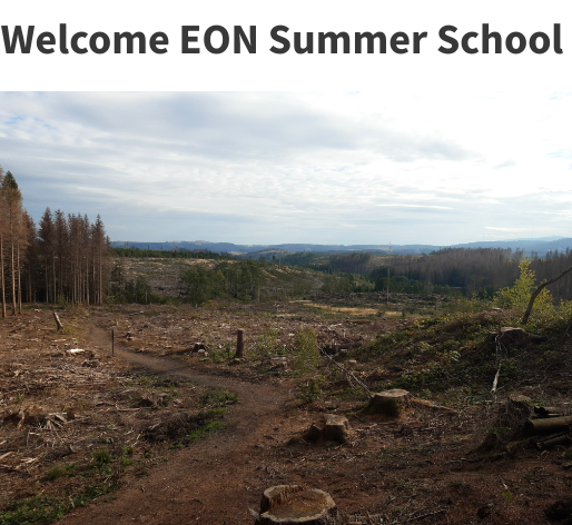
EON Summer School 2024 - Remote Sensing Forest Monitoring Harz
Remote Sensing Forest Monitoring Harz is a one-week interdisciplinary summer school in which students of Forest Sciences from Göttingen and Geography from Marburg work together. The course uses satellite data, UAV flights, terrestrial LiDAR data acquisition and microclimate sensing for monitoring forest ecosystems.
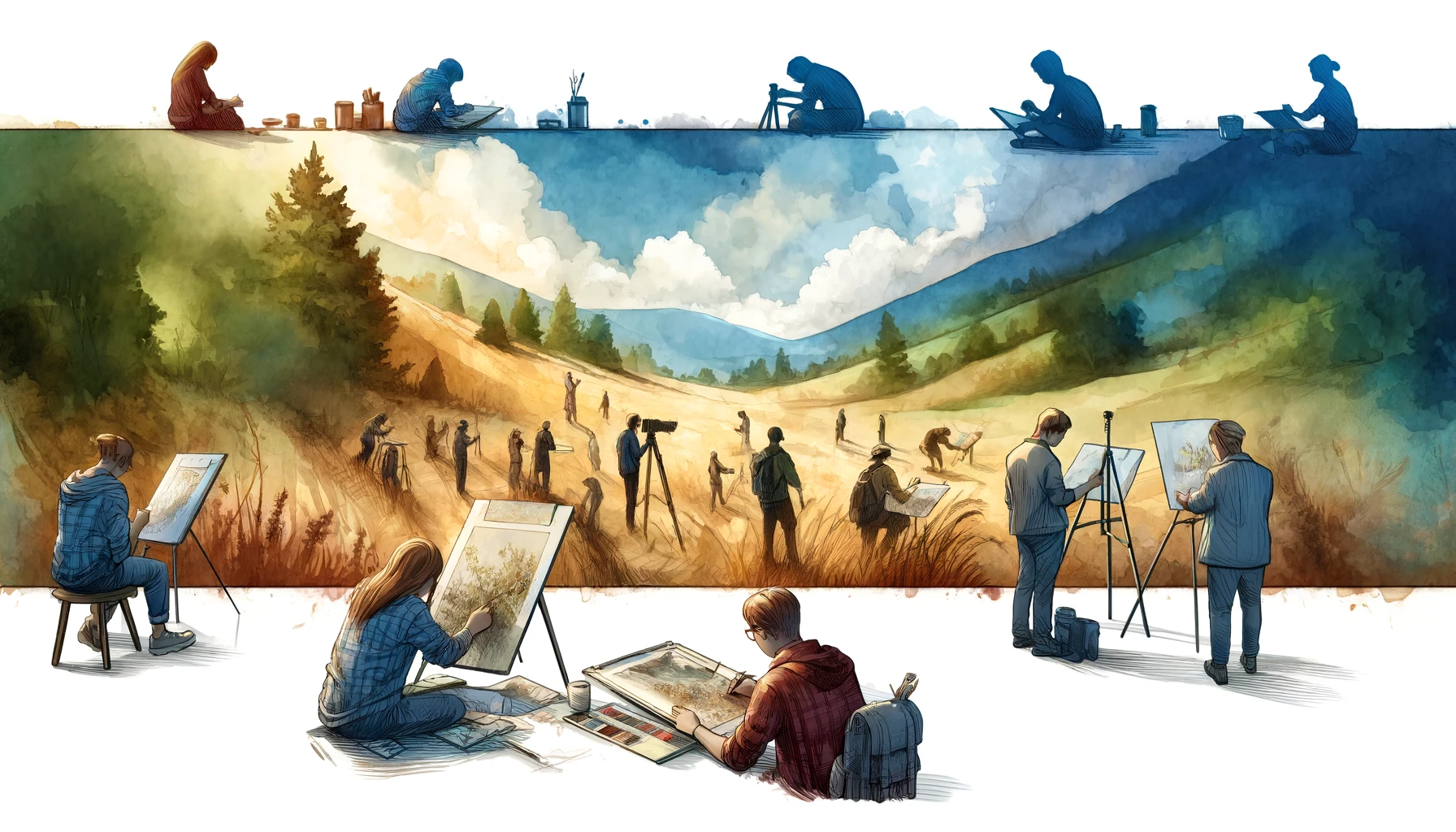
Extracurricular learning locations (Ausserschulische Lernorte AsLo)
Extracurricular learning locations allow the direct processing of geographical subject matter in real space. In this module, students develop learning locations that are resilient, adaptive, vulnerable or maladaptive in relation to climate change and translate the topic into a 60-minute excursion.
Former Courses
Oldies but Goodies
GI Modules - Geoinformatics Learning Collection
GI Modules is a blog-based collection of learning content in the broad field of geoinformatics. The blogs are sorted by categories and tags; the material is thematically associated but not intended as a single closed workflow.
Agent-based Modelling - Abstraction and Model Building
Agent-based Modelling introduces modelling as a transparent but necessarily selective abstraction of complex reality. The course focuses on how scientific concepts and general ideas can be translated into model structures, and how bottom-up and top-down approaches can be used to develop and understand models in NetLogo.
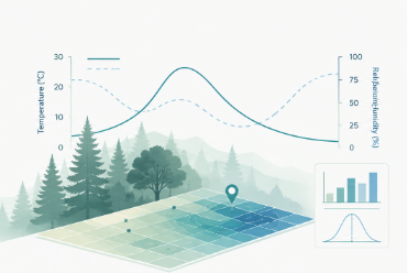
Geoinformatics methods 2021 - Statistical Micro Climate Modelling
Geoinformatics Methods - Statistical Microclimate Modelling is a full semester overview of selected methodological approaches in advanced GIS analysis using reproducible research workflows based on R and open-source software. The scientific topic is statistical modelling of forest microclimate based on LiDAR, Sentinel data and station measurements.
Geoinformatics methods - Remote Sensing Change Detection
The course Methods of Geoinformatics - Change Detection provides an introduction to reproducible land-surface and land-use change detection using R, open-source software and GitHub-based workflows. It is aimed at geography students with basic operating system knowledge.
Geoinformatics methods - Big Data and Spatial Econometrics
Spatio-temporal data analysis, especially of big data, and spatio-temporal prediction are typical requirements of spatial econometrics. The course introduces spatial data handling, preparation, visual exploration, analysis and presentation as core competences for spatial economic and social processes.
Advanced GIS and Remote Sensing - GIS Workflows 2022
This earlier Advanced GIS and Remote Sensing course version belongs to the same advanced geoinformatics sequence and keeps the focus on reproducible spatial workflows, geoinformatics methods, remote-sensing input data and critical analysis of spatio-temporal patterns.
Geoinformatik Basiskurs (QGIS)
This basic geoinformatics course introduces fundamental GIS concepts, QGIS workflows, geodata representation, spatial analysis and map-based communication. It is an earlier course version and remains useful as a reference for core QGIS teaching material.
Geoinformatics methods - System Dynamics, an introduction
The course introduces spatio-temporal processes, the delineation and modelling of systems and the simulation of system dynamics. It treats modelling and simulation as scientific means of knowledge production and communication in geography.
Media Competence in Geography
Media Competence in Geography treats media and models as scientific instruments of geography. The course focuses on categorising geomedia, producing examples, modelling spatial processes and reflecting on the suitability of media for specific geographical problems.
GISMA Back Catalogue
Useful classics and legacy teaching material
GIS Modules Bachelor 2009/2014
GISMA's first two German-language GIS learning modules are preserved here because they are still occasionally useful as historical teaching resources. They were designed as blended-learning modules with structured knowledge bases, self-directed learning phases and SCORM/IMS-compatible material. Because the technology is now **substantially outdated**, display errors and broken interactions are possible. However The corses are fully self-containing including materials for ArcGIS.